Nature Mapping around the avail River and an assisted migration task
- 2 days ago
- 1 min read
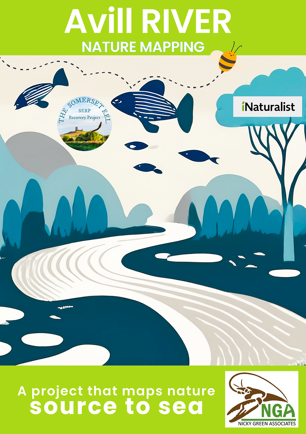
Nature Mapping on the Avill River
The River Avill is a small river on Exmoor in Somerset, England.
It rises on the eastern slopes of Dunkery Beacon and flows north through Timberscombe and Dunster flowing into the Bristol Channel at Dunster Beach. It runs South-West of Minehead, and North of Taunton.
This spring SERP worked in conjunction with NG Associates, and participated in some elver fishing, catching and moving glass eels higher up the catchment. This work is part of a bigger project monitoring eels, and managing the invasive Crayfish species in this area.
This data mapping project of the Avill River is now up and running - if you are in the area do consider taking some photos and uploading into iNaturalist. Can you think of a river that needs mapping in Somerset? Please get in touch !
More about NG Associates here


Comments