What is nature mapping?
Mapping nature along a river offers a rich tapestry of benefits that support environmental health, community well-being and scientific understanding including:
-
Biodiversity Assessment
-
Habitat Protection & Restoration
-
Water Quality & Ecosystem Health Monitoring
-
Flood Risk & Land Use
-
Planning
-
Community Engagement & Education
-
Scientific Research & Policy Making
-
Enhancing Recreation & Tourism.

What is the aim of the project?
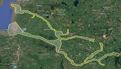
Recording nature along a river acts like a living snapshot, capturing the dynamic interactions between land, water and life. It empowers communities and decision makers to nurture these vital ecosystems with insight and care. The aim of our project is to record species along the Brue and Axe corridors from source to sea and to share data collaboratively with each other.

How is the project managed?
Any data you collect should be pooled using the iNaturalist website or app. We chose iNaturalist over other providers because it operates as a nonprofit; a social network of naturalists, citizen scientists, and biologists built on the concept of mapping and sharing observations of biodiversity across the globe.
This mapping project is jointly organised by the Somerset Eel Recovery Project and The Brue Crew, and is partly based on WWF Advice